3D Surveying, Laser Scanning & BIM Experts in Montreal
Experts in 3D scanning, laser surveys, BIM modeling, and digital twins for architecture, construction, and industry.
01
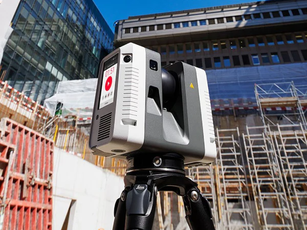
Service 1 : 3D Building Scan
We carry out precise 3D laser surveys of existing buildings, whether for renovations, heritage documentation, or industrial construction.
With our 3D scanning technology, you obtain an accurate point cloud that can be directly used in tools like Revit, AutoCAD, or Archicad..


02
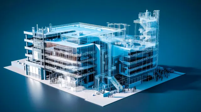
Service 2 : 3D Modeling and BIM
From 3D scan data, we create accurate digital models in Revit, IFC, or DWG format.
Perfect for architects, engineers, and asset managers.
Our deliverables integrate seamlessly into BIM workflows, saving you time and ensuring reliability.
We hired ARTOP Geomatics to carry out a complete 3D laser survey of an old, complex building, with the goal of producing a BIM model usable for renovation.
The team demonstrated great technical rigor, delivering an extremely accurate point cloud despite the site’s constraints.
The BIM model was perfectly structured, true to reality, and immediately integrated into our software.
The project was exemplary, with smooth communication, respect for deadlines, and responsiveness to our specific needs.
We highly recommend ARTOP for any mission requiring 3D surveys or complex BIM modeling of buildings.
— Technical Manager, Partner Architecture Firm
03
Service 3 : Digital Twins and Inspection
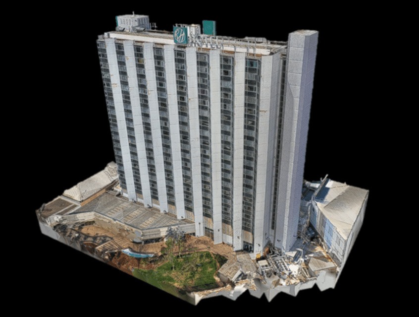
From 3D scan data, we generate digital twins that provide 360° visualization, precise measurements, and change tracking.
This service is ideal for construction monitoring, technical inspection, and asset management.


04
Service 4 : Drone Surveys and Photogrammetry
As a complement to terrestrial 3D scanning, our aerial drone service captures hard-to-reach areas and produces orthophotos and detailed 3D exterior models with high accuracy.
Do you have a project? We have the expertise!
Whether it’s for 3D surveys, BIM modeling, photogrammetry, or mapping, we deliver precise, tailored solutions adapted to your needs.
Contactez nous
Parlons ensemble de votre prochain projet
Québec
418-416-1970
info@artopgeomatics.com

